Why this entry exists
Few archaeological claims capture the imagination quite like the possibility of finding Noah's Ark. For decades, the Durupınar formation in eastern Türkiye has stood at the center of that discussion: a massive, boat-shaped feature lying in the mountains traditionally associated with the biblical landing place of the Ark.
For much of its history, the debate surrounding Durupınar has been dominated by competing interpretations, limited investigations, and extraordinary claims that were difficult to evaluate. That is beginning to change.
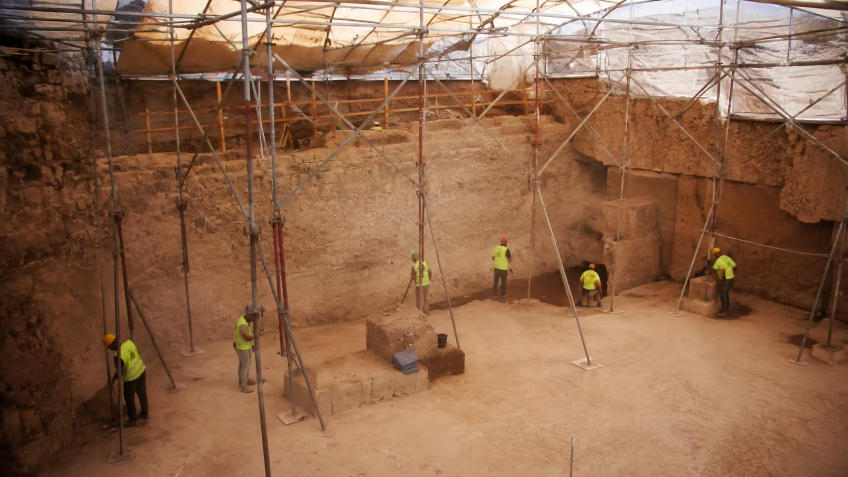
In 2026, an officially approved geological and archaeological research project was initiated at the formation under the direction of Prof. Dr. Cenker Atila of Sivas Cumhuriyet University. The project is expected to bring modern surveying, geophysical analysis, geological investigation, core sampling, and eventually—if the evidence warrants it—carefully controlled archaeological excavation to a site that has fascinated researchers for generations.
The site
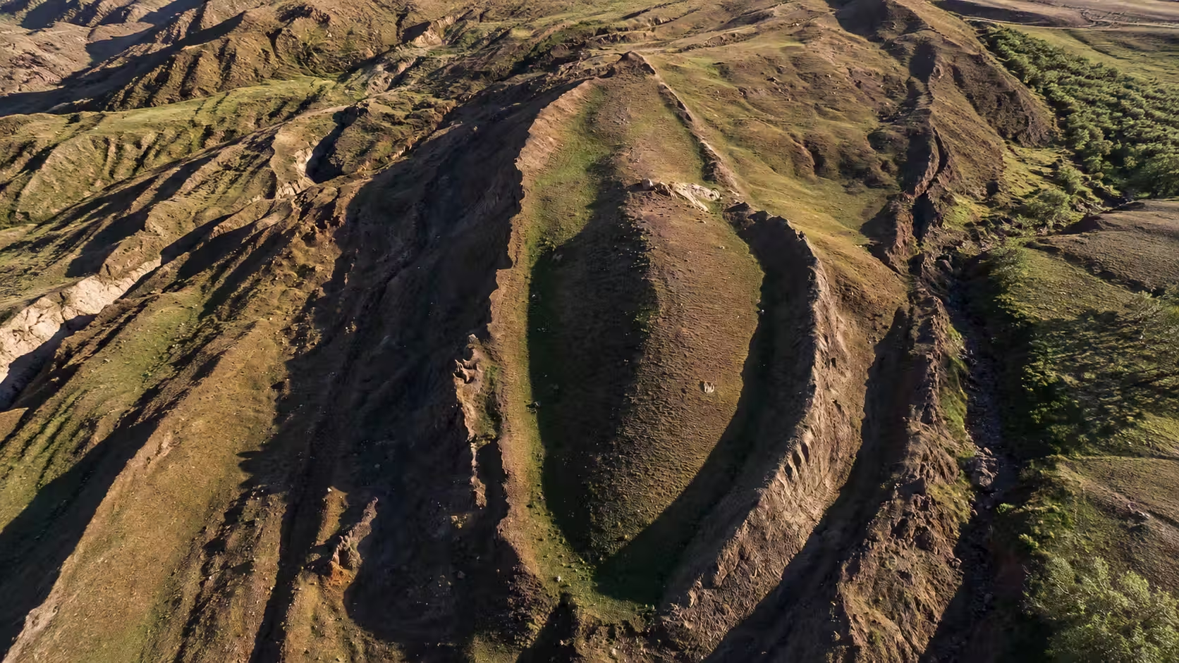
The Durupınar formation lies in the Doğubayazıt District of Ağrı Province in eastern Türkiye, south of Mount Ararat. It was first identified in aerial reconnaissance photographs in 1959 by Turkish Army Captain İlhan Durupınar, whose name was later given to the formation.
What immediately attracted attention was its shape. Viewed from above, the feature resembles the outline of an enormous vessel resting within the surrounding terrain. Noah's Ark Scans reports a length of approximately 157 meters, or 515 feet, and notes the longstanding comparison between those dimensions and ancient estimates of the Ark's biblical 300-cubit length.
Genesis does not say that the Ark landed specifically on the modern peak called Mount Ararat. Rather, Genesis 8:4 places it within the “mountains of Ararat,” referring to the broader ancient region associated with Urartu. That makes the wider geography of eastern Türkiye significant even before the identity of any individual formation is established.
What researchers are finding
Modern investigation of Durupınar has increasingly focused on what lies beneath the visible formation rather than on its boat-like appearance alone.
According to Noah's Ark Scans, electrical resistivity tomography and ground-penetrating radar surveys conducted during several field seasons have detected unusual linear features beneath the surface. Reanalysis of GPR data has reportedly revealed geometric patterns, apparent right angles, and corridor- or chamber-like features extending through portions of the formation.
Soil testing has added another interesting piece to the puzzle. Samples collected from within the formation were reported to contain substantially higher levels of organic material than samples taken from surrounding areas.
None of these findings by themselves demonstrate that a wooden vessel lies beneath the site. Geological processes can sometimes produce surprisingly regular structures, and subsurface radar requires careful interpretation. But taken together, the anomalies provide legitimate reasons for further investigation rather than dismissal based simply on the site's unusual appearance.
A new phase of investigation
That next phase is now underway.
The 2026 project calls for high-resolution mapping of the formation and surrounding terrain along with additional GPR, electrical-resistivity and LiDAR surveys. Researchers also intend to investigate the geology of the feature itself in order to determine how it formed.
Core drilling is especially important. Small-diameter cores can reveal the layers beneath the surface and allow researchers to examine actual material rather than interpreting geophysical images alone. Only after that work is completed could conventional archaeological excavation become appropriate.
That measured approach may ultimately be the most important development in the Durupınar story. Whether the formation proves to be entirely geological, something altered by human activity, or something much more extraordinary, the question can increasingly be approached through testable physical evidence.
The drogue stones
The Durupınar discussion also includes several enormous carved stones found in villages northwest of the formation. Some contain holes near their upper ends and have been interpreted by researchers associated with the Ark site as ancient drogue stones—large anchors that could have been dragged behind a vessel to stabilize it in violent water.
Several later received Christian carvings, apparently showing that local communities regarded the stones as significant long after their original creation.
Their connection to Noah's Ark remains debated. Alternative interpretations identify them as Armenian memorial stones or earlier monuments that were reused. Even so, their proximity to the formation and unusual construction make them part of the larger archaeological story surrounding the site.
Why this matters
For Christians, the significance of Durupınar is not that the Bible requires the Ark to be found.
The Flood account stands or falls on Scripture, not on whether a particular archaeological site can be identified thousands of years later.
But biblical archaeology matters because the Bible repeatedly places its events within real geography, real cultures, and real history. When a location connected with a biblical account presents physical evidence worth investigating, careful research should be welcomed.
Durupınar has not been proven to be Noah's Ark.
But neither is it simply a photograph of something vaguely shaped like a boat anymore. Modern geophysical surveys have raised questions beneath the surface, and the launch of an authorized multidisciplinary investigation gives researchers an opportunity to test those questions properly.
The most interesting chapter of the Durupınar story may therefore be the one beginning now.